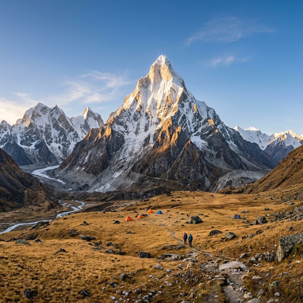
Few mountain traverses in the world command as much reverence among mountaineers as the Kalindi Khal Pass Expedition. Rising to an astonishing altitude of 5,948 meters (19,520 feet), this 99-kilometer glaciated traverse crosses the spine of the Garhwal Himalayas — connecting the holy shrine of Gangotri in Uttarkashi to Badrinath Dham in Chamoli district.
This is not a conventional trekking route; it is a full-scale alpine mountaineering expedition. Over 14 grueling days, expedition teams negotiate active crevasse fields, lateral moraines, sub-zero glaciated plateaus, fixed-rope ice walls, and whiteout navigation under the towering walls of Mt. Shivling (6,543 m), Bhagirathi peaks, Chandra Parbat (6,728 m), and Avalanche Peak. If you are aiming for the ultimate high-pass challenge in the Indian Himalayas, Kalindi Khal stands unrivaled.
1. Expedition Overview Table
| Expedition Parameter | Technical Specifications & Ground Reality |
|---|---|
| Pass Altitude | 5,948 meters / 19,520 feet |
| Traverse Route | Gangotri → Gaumukh → Tapovan → Vasuki Tal → Kalindi Pass → Mana → Badrinath |
| Total Traverse Distance | 99 km (Glaciated Moraine & High Snow Pass) |
| Expedition Duration | 14 to 15 Days (Includes 3 mandatory acclimatization / buffer days) |
| Difficulty Grade | Extreme / Technical Mountaineering (Crampons, Ice Axes, Fixed Ropes) |
| Permit Requirements | IMF (Indian Mountaineering Foundation) Clearance + DFO Uttarkashi & Chamoli |
| Best Expedition Window | June (Pre-Monsoon) & Early September (Post-Monsoon) |
| Required Experience | Prior 5,000m+ High Altitude Trekking or Basic Mountaineering Course (BMC) |

2. Introduction & Historical Context
The Kalindi Khal route is an ancient high-altitude pass originally crossed by holy ascetics and adventurous pilgrims traveling between the Char Dham shrines of Gangotri and Badrinath. Geographically, it cuts across the watershed separating the Bhagirathi River basin from the Alaknanda River basin.
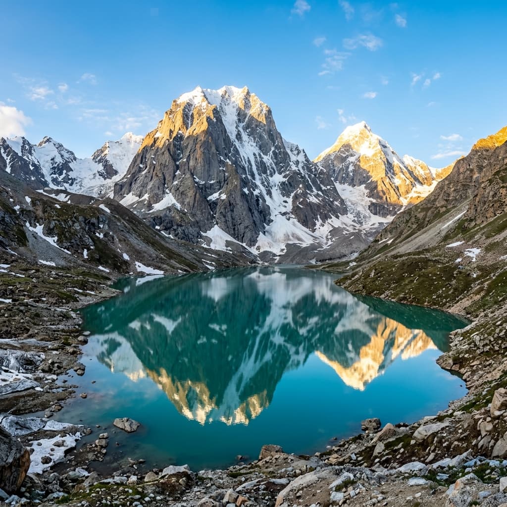
The expedition takes you through the heart of the Gangotri Glacier system, past the high alpine meadows of Tapovan, across the turquoise glacial tarn of Vasuki Tal (4,880 m), and onto the vast glaciated snowfields beneath Chandra Parbat. The pass itself is a narrow notch flanked by Kalindi Peak (6,102 m) and Avalanche Peak, offering a 360-degree panorama of peak massifs including Kamet (7,756 m), Mana Peak, and the Great Himalayan Range.
“Crossing Kalindi Khal is where trekking ends and true high-altitude mountaineering begins. Out on the glaciated plateau, self-reliance, rope discipline, and teamwork mean everything.”
3. Day-by-Day Expedition Itinerary
Day 1–2: Dehradun to Gangotri (3,100 m) & Acclimatization Walk
Drive from Dehradun to Gangotri via Uttarkashi. Day 2 is reserved for permit verification at the DFO office, gear inspection, and acclimatization hikes to Surya Kund and Pandav Gufa.
Day 3–4: Gangotri to Bhojbasa (3,800 m) to Gaumukh & Tapovan (4,460 m)
Follow the Bhagirathi River trail to Bhojbasa on Day 3. On Day 4, trek past the Gaumukh glacier snout and tackle the steep 600m boulder climb up to Tapovan, camping directly under Mt. Shivling.
Day 5: Tapovan to Nandanvan (4,340 m / 14,240 ft) — 7 km
Cross the massive lateral moraine of the Gangotri Glacier to reach Nandanvan, situated at the confluence of the Gangotri and Chaturangi glaciers directly beneath Bhagirathi I, II, and III.
Day 6: Nandanvan to Vasuki Tal (4,880 m / 16,000 ft) — 7 km
Trek along the Chaturangi (Four-Colored) Glacier over loose scree and moraine ridges to reach the stunning high-altitude glacial lake of Vasuki Tal, base camp for Mt. Vasuki Parbat.
Day 7: Acclimatization & Load-Ferrying Day at Vasuki Tal
A mandatory rest and acclimatization day. Guides conduct crampon and rope practice on the ice slopes while support team ferries loads to Khada Pathar.
Day 8–9: Vasuki Tal to Khada Pathar (5,080 m) to Swetvarn Glacier (5,450 m)
Enter pure glaciated terrain. Trek over the white snowfields of Swetvarn Glacier. Temperatures plunge to -15°C at night. Tents are pitched directly on snow covered moraine.
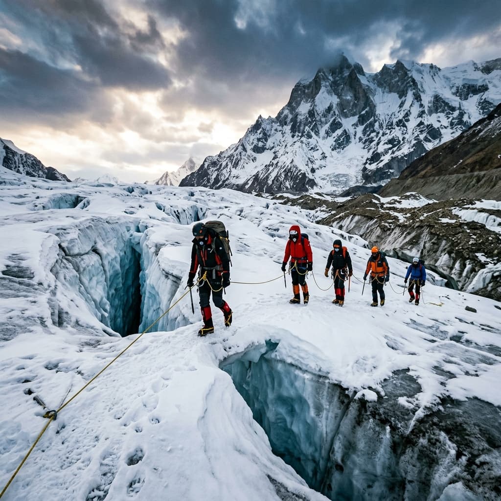
Day 10: Swetvarn Glacier to Kalindi Base Camp (5,500 m / 18,040 ft)
Navigate around active crevasses under the shadow of Kalindi Peak. Early sleep is mandatory as the pass crossing starts at 1:00 AM.
Day 11: Pass Crossing Day: Kalindi Base (5,500 m) → Kalindi Khal Pass (5,948 m) → Rajparavan (4,910 m) — 14 km (10–12 Hours)
Alpine start at 1:30 AM under headlamps. Negotiate a steep 50-degree ice slope using fixed ropes and ice axes to reach the crest of Kalindi Khal (19,520 ft) at sunrise. After celebrating the summit, execute a careful descent over snow bridges down into the Arwa Valley to reach Rajparavan campsite.
Day 12–14: Rajparavan to Ghastoli (3,790 m) to Mana Village & Badrinath
Follow the roaring Arwa Nala down to the ITBP border post at Ghastoli. Complete the final leg to Mana — the last Indian village before the Tibetan border — and drive to Badrinath Dham to conclude the grand traverse.
4. Permits & IMF Clearances
Because Kalindi Khal exceeds 5,900 meters and crosses sensitive international border security zones (ITBP / Army line), permit processing is complex:
- IMF Approval: Application must be submitted to the Indian Mountaineering Foundation (IMF) Delhi 45 days in advance.
- Satellite Phone Permission: Mandatory satellite communication approval from the Ministry of Home Affairs (MHA).
- Dual DFO Clearance: Permits required from both DFO Uttarkashi (entry) and DFO Nanda Devi / Chamoli (exit).
- Liaison Officer (LO) / Certified Guide: IMF-appointed LO or Senior Guide mandatory for expedition monitoring.
5. Technical Hazards & Risk Protocol
- Hidden Crevasses: Team must remain roped in a 3-person alpine system across Swetvarn and Kalindi glaciers.
- Extreme Sub-Zero Cold: Night temperatures at Kalindi Base reach -20°C. Frostbite protection is critical.
- Whiteout Conditions: High-altitude snowstorms can erase trail markers instantly; GPS handheld devices are mandatory.
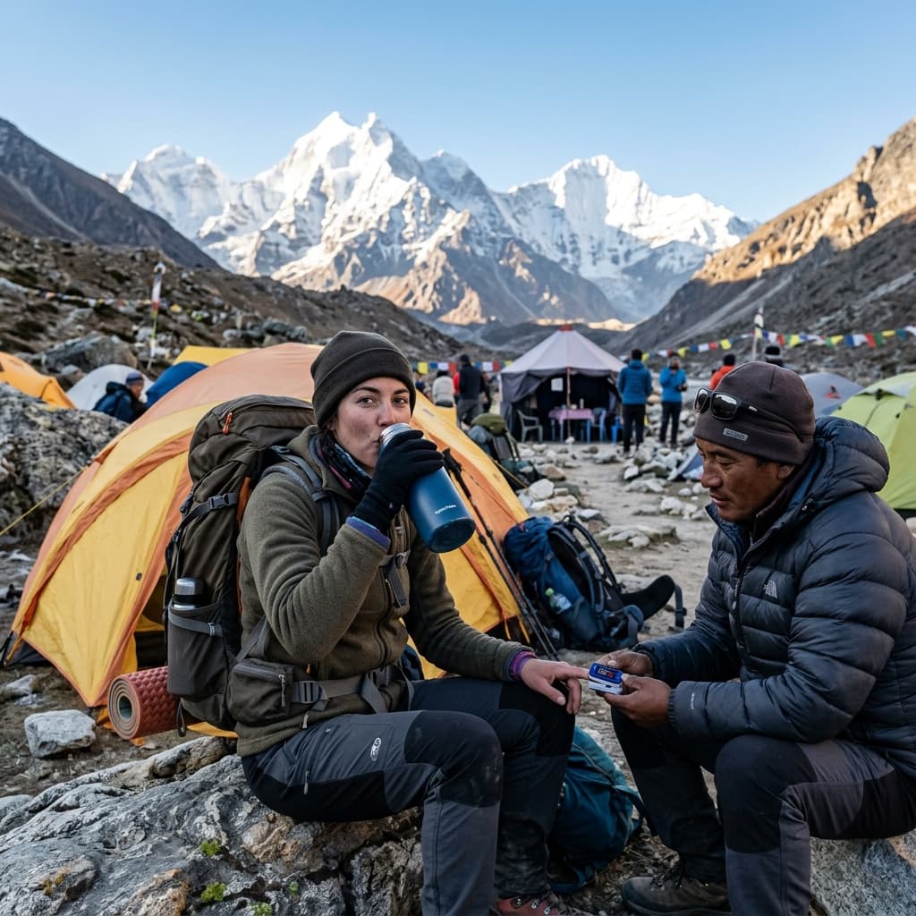
- Altitude Sickness (AMS/HAPE): Oxygen cylinders and PAC (Portable Altitude Chamber) bags are carried by our expedition support crew.
6. Eligibility & Mountaineering Fitness
Applicant prerequisites for Kalindi Khal Expedition:
- Prior High-Pass Experience: Must have completed at least two 5,000m+ treks (e.g., Pin Parvati, Auden's Col, or Stok Kangri).
- Technical Skills: Proficiency in crampon footwork, self-arrest with ice axe, jumar climbing, and rappelling.
- Cardio Conditioning: Ability to run 10 km in under 55 minutes and carry a 15 kg pack over 8-hour mountain days.
7. Technical Gear & Equipment List
- Mountaineering Boots: Double-plastic or insulated mountaineering boots (La Sportiva / Scarpa) rated to -20°C.
- Technical Climbing Gear: Climbing helmet, seat harness, 2 locking carabiners, jumar, descender, and 12-point crampons.
- Ice Axe: General mountaineering ice axe with leash.
- Sleeping System: Extreme down sleeping bag (-20°C comfort rating) + dual closed-cell foam mattresses.
- Eyewear: Category 4 glacier sunglasses + snow goggles (essential to prevent permanent snow blindness).
8. FAQs & Local Expert Tips
Q1: What is the success rate of Kalindi Khal pass crossings?
Due to volatile weather and glacier conditions, average commercial success rate is roughly 65–70%. Having experienced guides and buffer days is key.
Q2: Are satellite phones allowed on the expedition?
Only satellite devices registered with official MHA / IMF permits are permitted near border areas.
Q3: Can we undertake the expedition in reverse (Badrinath to Gangotri)?
Technically possible, but not recommended. Starting from Gangotri (3,100 m) offers a far superior acclimatization profile than starting from Badrinath.
The Himalayan Trail organizes certified technical expeditions to Kalindi Khal with IMF Liaison officers, high-altitude Sherpas, satellite comms, and complete safety equipment out of Uttarkashi.