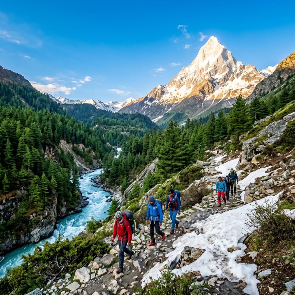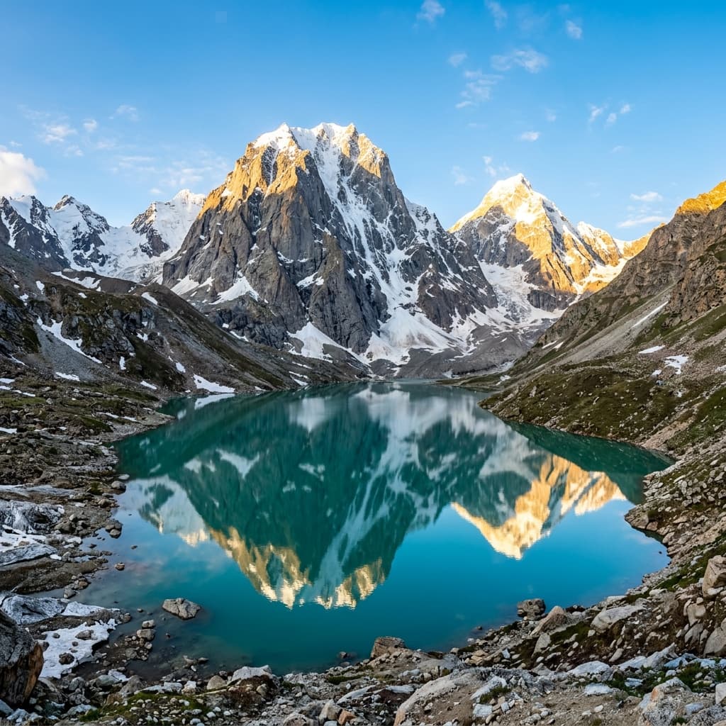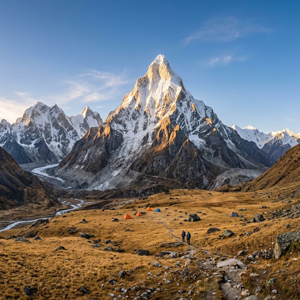

There's a moment on this trek that every trekker remembers — you round a bend near Bhojbasa, the valley opens up, and Shivling appears: a near-perfect pyramid of ice and rock rising straight out of the meadow, often called the "Indian Matterhorn." A few hours later, you're standing in front of a wall of glacial ice, listening to the Bhagirathi River roar out from underneath it. That's Gaumukh — the literal source of the Ganga, and the reason people travel from across the world to walk this trail.
If you're planning this trek out of Uttarkashi, here's everything you need to know before you go.
1. Quick Overview
| Key Aspect | Details |
|---|---|
| Region | Gangotri National Park, Uttarkashi district, Uttarakhand |
| Starting point | Gangotri (3,100 m / ~10,170 ft) |
| Highest point | Tapovan (~4,460 m / ~14,600 ft) |
| Total distance | Gaumukh only: ~36 km round trip. With Tapovan: ~44–46 km round trip |
| Duration | 5–7 days (including travel to/from Gangotri) |
| Difficulty | Moderate up to Gaumukh; moderate-to-challenging from Gaumukh to Tapovan |
| Best season | May–June and September–October |
| Permit | Mandatory (Gangotri National Park, Forest Department) |

2. The Route, Stage by Stage
Gangotri (3,100 m) → Chirbasa (9 km)
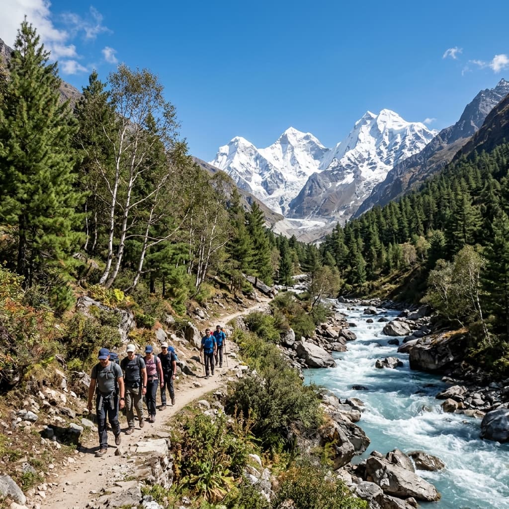
The trek begins right from Gangotri town, past the Gangotri Dham temple, following the Bhagirathi River upstream through pine and birch forest. This stretch is well-defined and gradual — a good warm-up day. Chirbasa ("place of pines") is where the tree line starts thinning out.
Chirbasa → Bhojbasa (5 km)
Short but noticeable — you leave the last of the forest behind and enter open, high-altitude terrain. Bhojbasa sits at roughly 3,800 m and is where most trekkers spend their first night on the trail. There are basic Forest Rest House and ashram accommodations here, along with your first real, unobstructed view of Bhagirathi peaks.
Bhojbasa → Gaumukh (4 km)
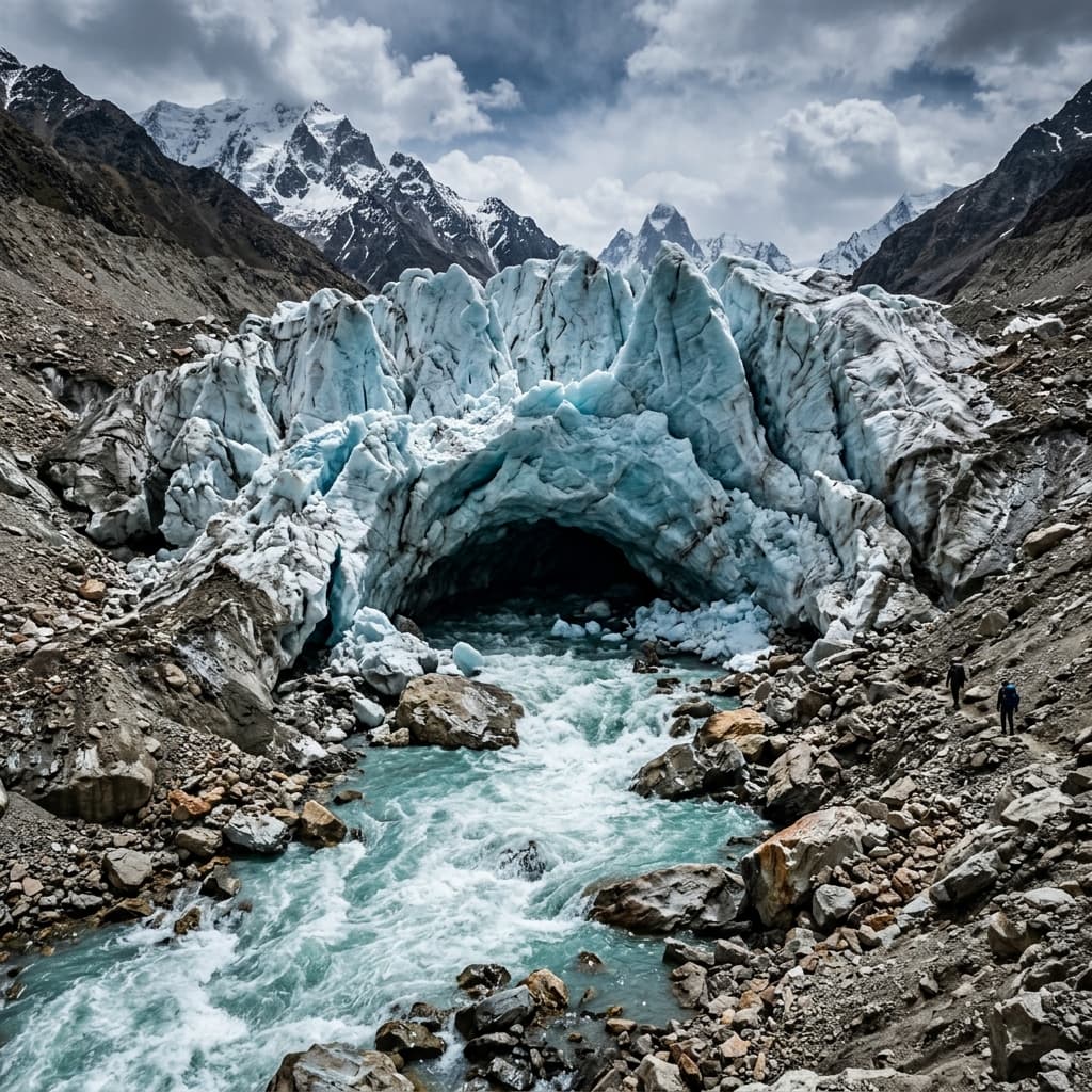
This is the spiritual high point of the trek for many. The trail from Bhojbasa to Gaumukh has some loose scree and rockfall-prone sections, so it needs careful footing. Gaumukh itself sits around 3,900 m — the snout of the 30-km-long Gangotri Glacier, where the Bhagirathi emerges from a wall of ice. It's worth noting the glacier has been retreating for decades, so the ice cave/mouth shape changes year to year.
Gaumukh → Tapovan (extension, ~6 km)
This is the section that separates a moderate trek from a serious one. It's a steep climb of roughly 600–700 m of elevation gain over boulders and a loose, angled slope — trekkers typically take 2+ hours just for the final ascent. But Tapovan meadow, at around 4,460 m, is the payoff: a wide alpine meadow directly beneath Mt. Shivling (6,543 m), where Hindu sadhus have lived in stone huts and caves for generations. It's genuinely one of the most striking high-altitude campsites in the Indian Himalaya.
“Rounding the final boulder ridge onto Tapovan meadow and seeing Mount Shivling tower 2,000 meters above your tent is an experience that stays with you forever.”
Return
Most itineraries retrace the same route back to Bhojbasa and then Gangotri, rather than looping — this is an out-and-back trek.
3. Sample 7-Day Itinerary
- Day 1: Arrive Gangotri (via Uttarkashi/Harsil), acclimatize, visit Gangotri Dham temple
- Day 2: Permit formalities and rest/local acclimatization walk
- Day 3: Gangotri → Chirbasa (9 km trek)
- Day 4: Chirbasa → Bhojbasa (5 km trek)
- Day 5: Bhojbasa → Gaumukh → Tapovan (steep climb, overnight at Tapovan)
- Day 6: Tapovan → Bhojbasa (descend)
- Day 7: Bhojbasa → Gangotri (14 km, trek concludes)
Operators running only the Gaumukh leg (without Tapovan) can shorten this to 5 days.
4. Permits — What You Actually Need
Since the trail runs through Gangotri National Park, a Forest Department permit is compulsory for every trekker. A few important, easy-to-miss details:
- Entry is capped at roughly 150 trekkers per day on the Gaumukh trail, to protect the fragile glacial ecosystem — so permits can genuinely run out in peak season (May–June). Don't leave permit planning to the last day.
- As of the current rules, a registered/certified guide, trekking insurance, and a medical fitness certificate are mandatory alongside the permit — this has been the case since regulations tightened in late 2024.
- Carry an original photo ID (Aadhaar for Indians, passport for foreign nationals) — the forest office logs every trekker against the daily cap.
- Permits can be arranged at the forest office in Uttarkashi or Gangotri, or in advance online — as a local operator, this is exactly the kind of paperwork you can (and should) offer to handle for clients, since it's a common pain point for first-timers researching this trek.
5. Best Time to Go
- May–June: Clear skies, stable weather, the trail is fully open after winter. This is peak season, which is also why permits fill up fastest.
- September–October: Post-monsoon window — crisp air, excellent visibility, fewer crowds than May–June.
- Avoid: July–August (monsoon — landslide and rockfall risk on the Chirbasa–Gaumukh stretch is real) and winter months (heavy snow closes the trail beyond Gangotri).
6. How Difficult Is It, Really?
Be upfront with your clients about this — it builds trust and it's genuinely the most-asked question:
- Gangotri to Gaumukh is rated moderate. It's achievable for a reasonably fit beginner with some prior trekking or long-walking experience.
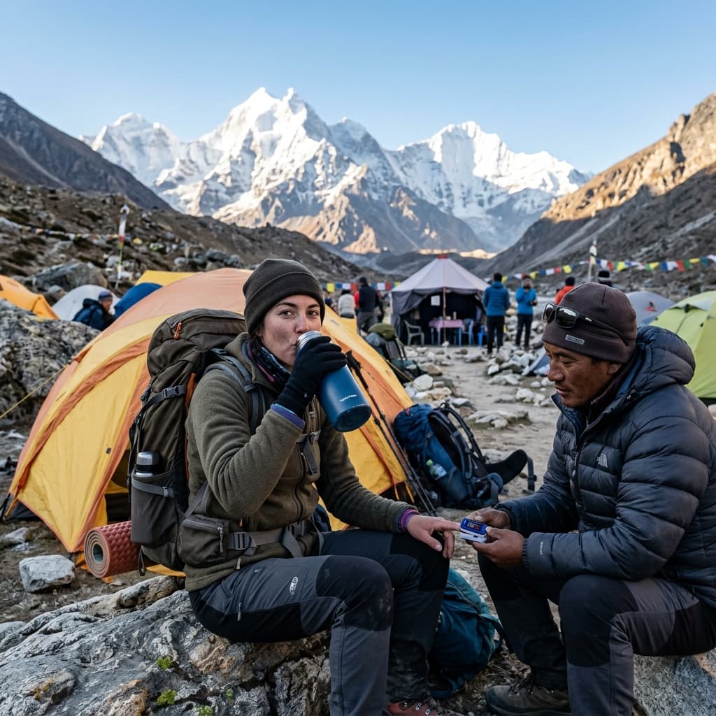
- Gaumukh to Tapovan is a different story — moderate-to-challenging, with a steep, exposed boulder climb and a real risk of Acute Mountain Sickness (AMS) given the altitude gain in a short distance. This section is not recommended for complete first-timers without any high-altitude experience.
- A reasonable fitness baseline: being able to walk 8 km on flat ground in under 90 minutes, and climb several flights of stairs without stopping. Trekkers who train for a few weeks before the trip consistently do better than those who don't — many who skip training turn back at Gaumukh rather than pushing on to Tapovan.
7. Getting There
- Nearest airport: Jolly Grant Airport, Dehradun (~250 km from Gangotri)
- Nearest railway stations: Haridwar and Rishikesh
- By road: Rishikesh/Dehradun → Uttarkashi → Harsil → Gangotri, roughly 8–10 hours of driving
- Uttarkashi is the last major town with reliable ATMs and banking before Gangotri — worth flagging to clients, since cash at Gangotri itself is limited. Advise carrying ₹4,000–5,000 in cash for local transport, gear rental deposits, and incidentals.
8. What Makes This Trek Different
A few things worth leaning into when you write this up for your own site, since they're what separates Gaumukh-Tapovan from a generic "Himalayan trek" post:
- It's a pilgrimage as much as a trek. Gangotri is one of the four Char Dham shrines, and Gaumukh is the literal source of a river worshipped across India. This isn't just scenery — it's meaningful to a huge number of your potential clients.
- Low crowds by design. The 150-per-day permit cap means that even in peak season, trekkers walk in real silence for hours — something worth highlighting against busier commercial treks like Kedarkantha.
- No technical climbing needed. Despite the altitude, the standard route to Tapovan doesn't require glacier travel or mountaineering gear — that reassurance matters to trekkers who are intimidated by the numbers on paper.
- Living sadhus at Tapovan. Ascetics still live year-round in caves and stone huts near Tapovan meadow — a detail that consistently surprises and interests first-time trekkers, and makes for strong, authentic photo and story content.
Planning this trek out of Uttarkashi? The Himalayan Trail handles permits, guides, and logistics for the full Gangotri–Gaumukh–Tapovan route — get in touch with our team for our next departure dates.